TWA Transcontinental Western Airlines 1944 System Map Brochure
TWA Transcontinental Western Airlines 1944 System Map Brochure
30-day returns accepted. If an item is not as described, contact us and we’ll make it right.
Couldn't load pickup availability
This 1944 brochure titled A Map of TWA’s System in the United States presents Transcontinental and Western Air’s wartime route network and proposed expansions filed with the Civil Aeronautics Board.
During the mid-1940s, TWA operated as one of the principal transcontinental carriers in the United States, linking major urban centers through an expanding system regulated by federal aviation authorities. Airline promotional materials from this period combined corporate branding with route maps to emphasize national reach, modernity, and the strategic importance of commercial aviation.
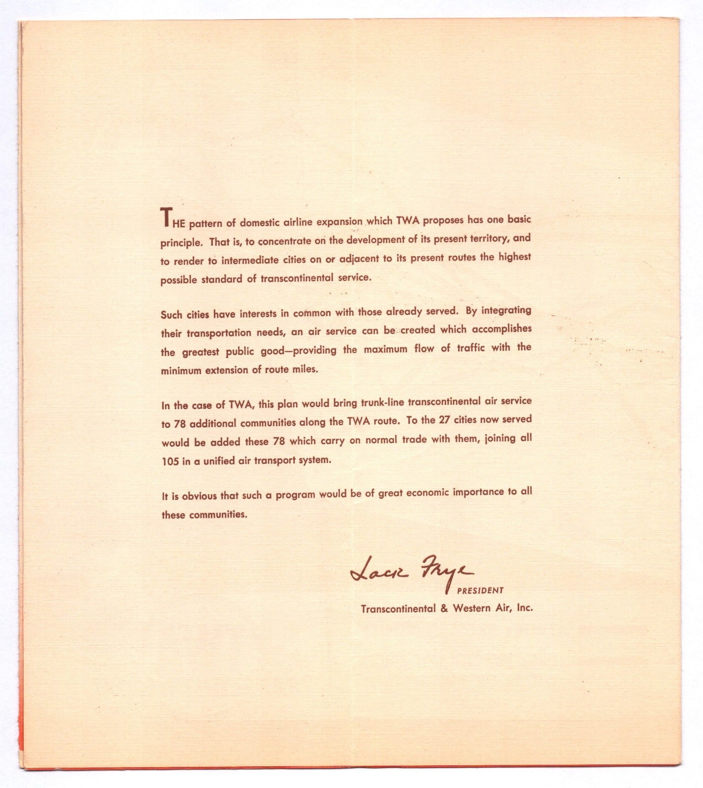
The cover features bold red and brown graphic panels with a circular title field and the TWA Transcontinental Airline globe logo. Printed text references present air routes and additional stops proposed in applications on file with the Civil Aeronautics Board, and the general offices are listed at 101 West Eleventh Street, Kansas City, Missouri. Interior pages include executive listings and a printed statement signed by company leadership, situating the piece within its 1944 publication context.
The item shown in the listing is the exact item the collector will receive. We have tens of thousands of items to choose from. Shipping will always be combined or refunded to save you as much money as possible. Please contact us with any questions, or visit our store page for specifics.
Share