Chicago Los Angeles Santa Fe Railroad Map 1922 Postcard Posted White Border
Chicago Los Angeles Santa Fe Railroad Map 1922 Postcard Posted White Border
30-day returns accepted. If an item is not as described, contact us and we’ll make it right.
Couldn't load pickup availability
This 1922 postcard presents a promotional route map of the Santa Fe Railway system, highlighting its lines from the Great Lakes to the Pacific Coast and emphasizing connections across the American Southwest.
The printed map traces rail corridors through Illinois, Missouri, Kansas, Colorado, New Mexico, Arizona, and California, with major cities such as Chicago, Kansas City, Denver, and Los Angeles clearly marked. A legend indicates Santa Fe hotels, dining rooms, and lunch rooms under the management of Fred Harvey, reinforcing the integrated travel and hospitality network associated with the railroad. State boundaries and regional color blocks structure the composition into a clear geographic overview.
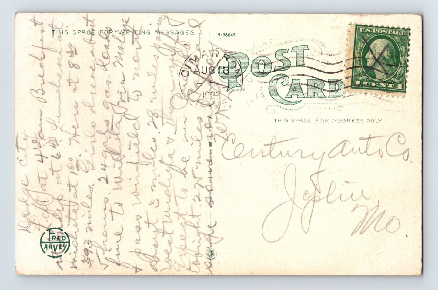
Period typography, route markings, and the Fred Harvey branding position the card as both a souvenir and an informational travel piece. The posted example includes period correspondence and postage on the reverse, documenting its circulation through the postal system.
The item shown in the listing is the exact item the collector will receive. We have tens of thousands of items to choose from. Shipping will always be combined or refunded to save you as much money as possible. Please contact us with any questions, or visit our store page for specifics.
Share